Free Land Surveyors Invoice Template

Boundary Surveys Invoices
Boundary surveys involve determining legal property limits through meticulous processes. It starts with a preliminary site visit, followed by stake placement and field surveying to gather precise data. This information is then processed to create an accurate boundary map. The final step involves compiling a detailed report that documents the findings, ensuring clarity and legality for property owners.

Topographic Surveys Invoices
Topographic Surveys involve mapping the elevation and features of land areas, providing detailed insights into terrain. The process includes site reconnaissance, control survey setup, data collection, processing, analysis, map production, and final report compilation. This work is characterized by precision, thoroughness, and a comprehensive understanding of geographical details.

Construction Staking Invoices
Construction staking involves establishing precise reference points crucial for guiding construction projects. It encompasses surveying and mapping to determine boundaries, grade levels, foundation layouts, utility placements, and documenting as-built conditions. This work ensures accuracy in project execution, mitigating errors and aligning with design specifications.

ALTA/NSPS Surveys Invoices
ALTA/NSPS Surveys provide critical information for property transactions, ensuring accurate boundary and topographical details. These comprehensive surveys include Topographic, Boundary, Site Plan Preparation, As-Built, Environmental Impact Assessment, and Subdivision Surveys. They are essential for lenders to assess risks before closing on a property.

Subdivision Surveys Invoices
Subdivision Surveys involve planning and dividing land into lots for development. Key characteristics include conducting boundary surveys to define property limits, topographic mapping for terrain analysis, creating site grading plans for optimal land use, utility mapping for infrastructure layout, designing drainage systems to manage water flow, and access road design to ensure connectivity. This comprehensive approach ensures efficient and sustainable land development.

As-Built Surveys Invoices
As-Built Surveys meticulously document the precise location and condition of improvements post-construction. This service involves site preparation, data collection using advanced tools, thorough data processing, detailed report generation, rigorous quality assurance checks, and client consultations to ensure accuracy and satisfaction.

Site Planning and Design Invoices
This service involves meticulous planning and design for land use projects, ensuring compliance and functionality. It includes conducting topographical surveys, analyzing site conditions, reviewing zoning regulations, developing conceptual designs, coordinating utilities, and creating accessible site plans to meet project objectives effectively.

Easement Surveys Invoices
Easement Surveys involve precise mapping for utilities or access rights. Key tasks include coordinating access, executing field surveys, collecting and analyzing data, preparing detailed reports, creating maps and plans, and consulting with clients to ensure accurate documentation of easements.

Environmental Surveys Invoices
Environmental Surveys involve comprehensive assessments to evaluate the ecological conditions and impacts on land. Key activities include site assessment, soil testing, water quality analysis, air quality monitoring, flora and fauna surveys, and waste management audits. This work is characterized by its scientific rigor, attention to detail, and focus on sustainability, aiming to inform environmental decision-making and policy development.

Property Line Disputes Resolution Invoices
Property Line Disputes Resolution involves resolving boundary disagreements through expert consultation, precise site surveys, thorough legal research, and strategic negotiation. It includes drafting necessary legal documents and providing ongoing support to ensure amicable settlements and clear property demarcations.
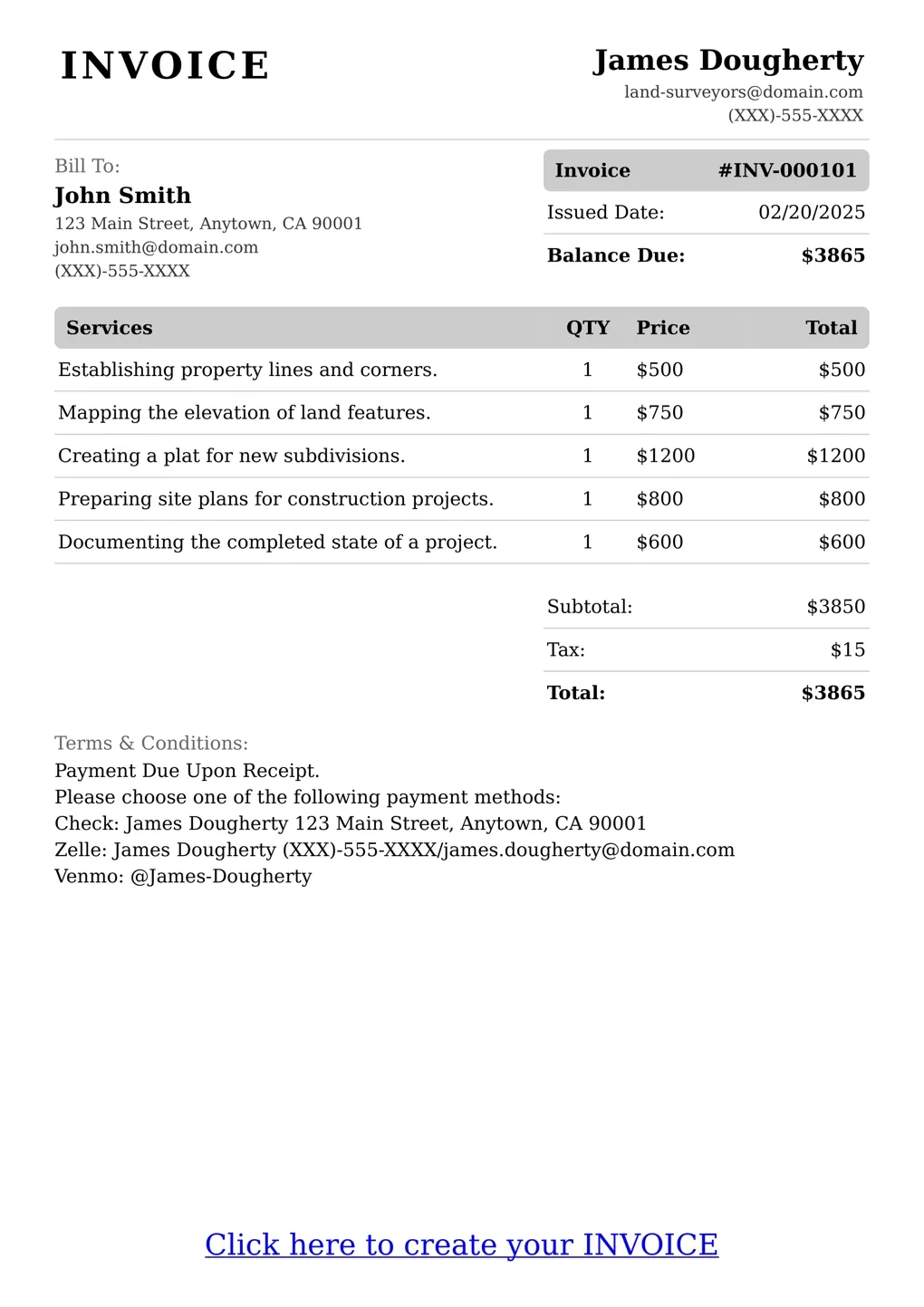
An invoice is a commercial document used to request payment for goods or services provided by a business. Land surveyors use invoices as an essential tool to communicate with clients and record payments. It serves as a receipt and proof of work done, helping to establish the legitimacy of their professional services. Invoiced amounts are based on the scope and complexity of the project, as well as any associated costs or expenses. The creation and delivery of invoices allows land surveyors to efficiently manage their finances and stay organized throughout their business operations.
FAQ
What types of payments do you accept?
We accept various payment methods, including credit/debit cards and bank transfers.
How long does it take to receive my invoice?
Once your order is completed, your invoice will be sent to you for review.
Can I print my invoice?
Yes, you can print your invoice from the 'Print' option on our website.
How do I download my invoice in PDF format?
You can download your invoice in PDF format from the 'Download' option on our website.
Is there a charge for using this service?
Yes, there is a small charge for using our online invoice creation service.
Can I use this service if I am not a Land Surveyor?
No, this service is only available to registered Land Surveyors.
How do I ensure my client receives their invoice on time?
You can set reminders for your clients through our system.
What if I have questions about my invoice?
You can contact us directly for assistance.